At Road Science, we provide advanced data collection services to help you assess and optimise the performance of your road infrastructure. With cutting-edge technology and a team of experts, we offer precise, reliable, and actionable data to support better decision-making and improve road management.
Our specialised data collection tools currently include:
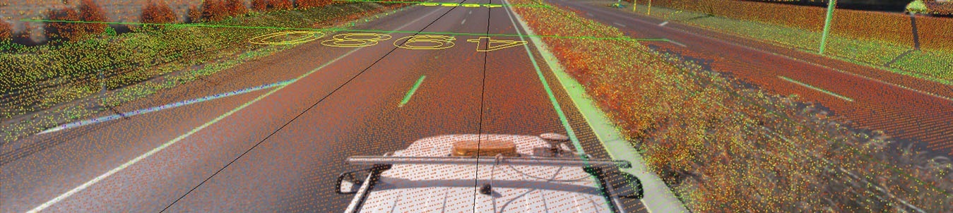
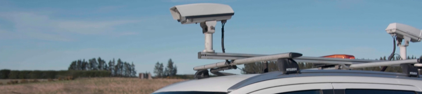
Pegasus: A mobile platform that captures high-resolution images and geospatial data for real-time road condition assessments
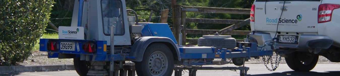
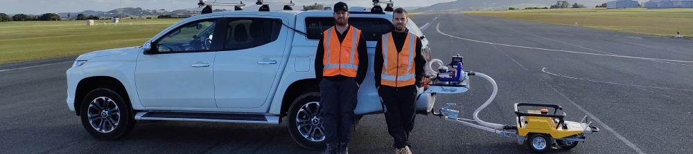
Falling Weight Deflectometer (FWD): Measures pavement deflection to assess structural capacity and optimise rehabilitation strategies
Hawkeye: A road profiling system that accurately measures surface texture, ride quality, and irregularities
Grip Tester MK2: Assesses road friction and skid resistance to ensure optimal safety and traction in all conditions.
Why choose our data collection services?
We provide precise, high-quality data that you can trust for decision-making and project planning
Our advanced equipment ensures comprehensive and detailed assessments
Our experienced team of technicians and engineers are available to interpret data and offer actionable insights to help you optimise your road infrastructure
We understand that each project is unique, and we work with you to deliver data that meets your specific requirements.
Image Capturing
We do not seek to capture image of people, however if we inadvertently capture a person’s image with our Mobile Mapping or Theia services, we will endeavour to protect privacy in the following ways. The terms of our Privacy Policy apply . We can also blur identifiable faces within our Mobile Mapping Imagery.
If you would like to report any problem with our Mobile Mapping services or of our conduct, please contact Nikhil Vishwanath.